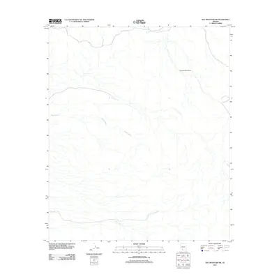
2011 Map of Hat Mountain SW
USGS Topo · Published 2011About this map
The Sauceda Mountains define the high ground of this Maricopa County landscape, where desert topography is carved by a complex network of ephemeral drainage systems. The most prominent of these is Midway Wash, which snakes across the central and western portions of the quadrangle. In this arid environment, water management is represented by Javelina Tank in the north, a vital point for land use in a region primarily shaped by natural terrain rather than dense settlement. This 2011 survey illustrates the intersection of natural desert features and the essential water-retention structures required for life and livestock in the Arizona backcountry.
Find a feature on this map
3 named features on this map. Tap any name to fly to it.
Don’t see what you’re looking for? This feature index may not catch every label — zoom into the map to look around manually.
Map Details
Editions of this 2011 Hat Mountain SW Map
This is the sole edition of this map. No revisions or reprints were ever made.
Other maps of this area

1932 · Ajo
USGS Topo · 1:62,500

1934 · Ajo
USGS Topo · 1:62,500

1953 · Ajo
USGS Topo · 1:250,000

1957 · Ajo
USGS Topo · 1:250,000

1958 · Ajo
USGS Topo · 1:250,000

1958 · Midway
USGS Topo · 1:62,500

1958 · Hat Mountain
USGS Topo · 1:62,500

1962 · Ajo
USGS Topo · 1:250,000

1963 · Ajo
USGS Topo · 1:250,000

1963 · Ajo
USGS Topo · 1:62,500