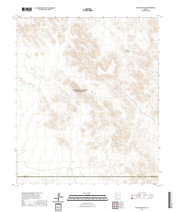
2021 Map of Hat Mountain SW
USGS Topo · Published 2021About this map
The Sauceda Mountains dominate this arid landscape, characterized by complex topography and numerous drainage patterns. The most prominent hydrological feature is Midway Wash, which cuts across the western portion of the terrain as it flows toward the south. This 2021 survey illustrates a sparsely developed desert environment where the land is primarily defined by its natural contours and the geopolitical boundary between Maricopa Co and Pima Co. The absence of modern infrastructure or named settlements highlights the area's isolation within the Sonoran Desert, offering a clear record of the physical geography and public land survey system divisions.
Find a feature on this map
9 named features on this map. Tap any name to fly to it.
Don’t see what you’re looking for? This feature index may not catch every label — zoom into the map to look around manually.
Map Details
Editions of this 2021 Hat Mountain SW Map
This is the sole edition of this map. No revisions or reprints were ever made.
Other maps of this area

1932 · Ajo
USGS Topo · 1:62,500

1934 · Ajo
USGS Topo · 1:62,500

1953 · Ajo
USGS Topo · 1:250,000

1957 · Ajo
USGS Topo · 1:250,000

1958 · Ajo
USGS Topo · 1:250,000

1958 · Midway
USGS Topo · 1:62,500

1958 · Hat Mountain
USGS Topo · 1:62,500

1962 · Ajo
USGS Topo · 1:250,000

1963 · Ajo
USGS Topo · 1:250,000

1963 · Ajo
USGS Topo · 1:62,500