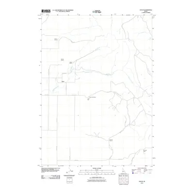
2010 Map of Hatch
USGS Topo · Published 2010About this map
Hatch sits at the junction of a network of local roads including Hatch Loop and Rindlisbaker Rd in this 2010 depiction of Caribou County. The landscape is defined by its drainage systems and significant elevation changes, where Eighteenmile Creek and Moses Creek wind through a series of dramatic landforms such as Tolman Canyon and Moses Canyon. To the southeast, the topography climbs toward Tenmile Pass and descends into Monroe Canyon. A smaller settlement at Little Flat is situated near Little Flat Canyon, reflecting the rural ranching or agricultural character of the region. The map meticulously records the local transportation network, identifying routes like Old Hatch Rd and Mabey Rd that connect these remote canyon lands.
Find a feature on this map
22 named features on this map. Tap any name to fly to it.
Don’t see what you’re looking for? This feature index may not catch every label — zoom into the map to look around manually.
Map Details
Editions of this 2010 Hatch Map
This is the sole edition of this map. No revisions or reprints were ever made.
Other maps of this area

1914 · Henry
USGS Topo · 1:48,000

1916 · Henry
USGS Topo · 1:62,500

1917 · Portneuf
USGS Topo · 1:62,500

1948 · Bancroft
USGS Topo · 1:62,500

1948 · Soda Springs
USGS Topo · 1:62,500

1949 · Bancroft
USGS Topo · 1:62,500

1949 · Soda Springs
USGS Topo · 1:62,500

1955 · Preston
USGS Topo · 1:250,000

1958 · Preston
USGS Topo · 1:250,000

1962 · Preston
USGS Topo · 1:250,000