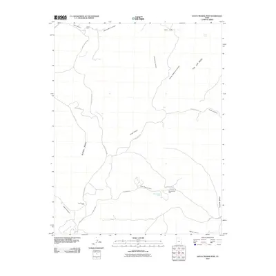
2010 Map of Hatch Trading Post
USGS Topo · Published 2010About this map
Hatch Trading Post and Perkins Ranch anchor this high desert landscape within the Shiprock Agency in 2010. The terrain is defined by a network of deep drainages and flat-topped mesas, where Montezuma Creek carves a path through the western portion of the quadrangle. Significant landmarks like Tin Cup Mesa and Alkali Point rise above the surrounding canyons, including Nancy Patterson Canyon and Black Steer Canyon. The road network provides essential connectivity through this remote region, featuring Montezuma Creek Rd and Hovenweep Rd, which lead toward significant cultural and geographical sites nearby. Notable water sources in this arid environment are sparse, marked by the presence of Tin Cup Spring and the drainage of Alkali Creek.
Find a feature on this map
28 named features on this map. Tap any name to fly to it.
Don’t see what you’re looking for? This feature index may not catch every label — zoom into the map to look around manually.
Map Details
Editions of this 2010 Hatch Trading Post Map
This is the sole edition of this map. No revisions or reprints were ever made.
Other maps of this area

1886 · Abajo
USGS Topo · 1:250,000

1892 · Abajo
USGS Topo · 1:250,000

1893 · Abajo
USGS Topo · 1:250,000

1955 · Verdure 3 SE
USGS Topo · 1:24,000

1955 · Verdure 4 SW
USGS Topo · 1:24,000

1956 · Cortez
USGS Topo · 1:250,000

1957 · Aneth 1 NE
USGS Topo · 1:24,000

1957 · Aneth 1 NW
USGS Topo · 1:24,000

1957 · Monument Canyon
USGS Topo · 1:62,500

1957 · Blanding
USGS Topo · 1:62,500