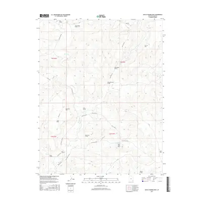
2017 Map of Hatch Trading Post
USGS Topo · Published 2017About this map
Hatch Trading Post sits as a central landmark in this high-desert landscape of San Juan County, Utah, where a complex network of deep canyons and expansive mesas defines the local geography. The area's drainages, including Montezuma Cr and Alkali Cr, are flanked by prominent features like McCracken Mesa and Cajon Mesa. The map illustrates a region where land use and access are dictated by the rugged topography, shown through the winding routes of Montezuma Creek Rd and Hovenweep Rd. Named landmarks such as Nancy Patterson Canyon, Johnny Benal Canyon, and Tin Cup Spring offer specific points of interest for those studying the local history and place-names of the Shiprock Agency region. The arrangement of high ground at Black Steer Park and Bug Park provides a clear view of the drainage patterns and historical travel corridors utilized throughout this part of the Four Corners region.
Find a feature on this map
38 named features on this map. Tap any name to fly to it.
Don’t see what you’re looking for? This feature index may not catch every label — zoom into the map to look around manually.
Map Details
Editions of this 2017 Hatch Trading Post Map
This is the sole edition of this map. No revisions or reprints were ever made.
Other maps of this area

1886 · Abajo
USGS Topo · 1:250,000

1892 · Abajo
USGS Topo · 1:250,000

1893 · Abajo
USGS Topo · 1:250,000

1955 · Verdure 3 SE
USGS Topo · 1:24,000

1955 · Verdure 4 SW
USGS Topo · 1:24,000

1956 · Cortez
USGS Topo · 1:250,000

1957 · Aneth 1 NE
USGS Topo · 1:24,000

1957 · Aneth 1 NW
USGS Topo · 1:24,000

1957 · Monument Canyon
USGS Topo · 1:62,500

1957 · Blanding
USGS Topo · 1:62,500