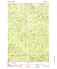
1984 Map of Hatchet Mtn
USGS Topo · Published 1984About this map
The North Fork Toutle River and Green River dominate the southern landscape of this 1984 survey, marking the rugged boundary between Lewis and Cowlitz counties. This provisional edition documents a transitional period for the Pacific Northwest timberlands, showing a dense network of logging infrastructure including Howard Road, Camp Road, and the Long Bell Road. Small clearings and landings like 19 Mile Camp and Maple Flat are scattered among the ridges of Hatchet Mtn and Crazy Man Mtn. To the north, the terrain slopes toward Mayfield Lake, where the Winston Creek Campground and the small settlement of Winston provide a focal point for local activity. Numerous quarries and borrow pits throughout the quadrangle suggest the active maintenance and expansion of the mountain road system during this era.
Find a feature on this map
27 named features on this map. Tap any name to fly to it.
Don’t see what you’re looking for? This feature index may not catch every label — zoom into the map to look around manually.
Map Details
Editions of this 1984 Hatchet Mtn Map
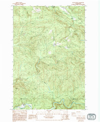
2 editions found
Other maps of this area

1916 · Chehalis
USGS Topo · 1:125,000

1919 · Mount St Helens
USGS Topo · 1:125,000

1937 · Eatonville
USGS Topo · 1:125,000

1942 · Toutle
USGS Topo · 1:62,500

1943 · Willapa
USGS Topo · 1:62,500

1953 · Hoquiam
USGS Topo · 1:250,000

1953 · Toutle
USGS Topo · 1:62,500

1953 · Elk Rock
USGS Topo · 1:62,500

1954 · Onalaska
USGS Topo · 1:62,500

1957 · Hoquiam
USGS Topo · 1:250,000