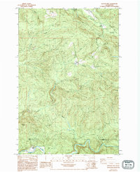
1984 Map of Hatchet Mtn
USGS Topo · Published 1994About this map
Hatchet Mtn and Crazy Man Mtn anchor this rugged landscape in southwestern Washington, where timber management and drainage networks dominate the terrain. Surveyed in the early 1980s, the map reveals a remote industrial and recreational landscape defined by the Lewis Co Cowlitz Co line. Waterways like Salmon Creek and Winston Creek carve through the high ground, leading toward Mayfield Lake at the northern edge.
Find a feature on this map
26 named features on this map. Tap any name to fly to it.
Don’t see what you’re looking for? This feature index may not catch every label — zoom into the map to look around manually.
Map Details
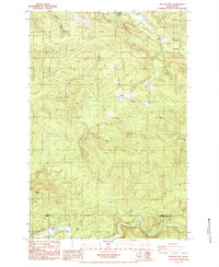
Editions of this 1984 Hatchet Mtn Map
2 editions found
Other maps of this area

1916 · Chehalis
USGS Topo · 1:125,000

1919 · Mount St Helens
USGS Topo · 1:125,000

1937 · Eatonville
USGS Topo · 1:125,000

1942 · Toutle
USGS Topo · 1:62,500

1943 · Willapa
USGS Topo · 1:62,500

1953 · Hoquiam
USGS Topo · 1:250,000

1953 · Toutle
USGS Topo · 1:62,500

1953 · Elk Rock
USGS Topo · 1:62,500

1954 · Onalaska
USGS Topo · 1:62,500

1957 · Hoquiam
USGS Topo · 1:250,000