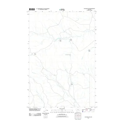
2011 Map of Hathaway NW
USGS Topo · Published 2011About this map
Whitetail Creek and Coal Creek define this landscape in Rosebud County, where a system of localized water management structures supported the region's ranching or agricultural needs. The area is characterized by a high concentration of numbered earthwork features, including French Number 15 Dam, French Number 16 Dam, French Number 17 Dam, and French Number 18 Dam. These specific designations suggest a organized system of water retention across the drainages of Sage Creek and Steiger Creek.
Find a feature on this map
11 named features on this map. Tap any name to fly to it.
Don’t see what you’re looking for? This feature index may not catch every label — zoom into the map to look around manually.
Map Details
Editions of this 2011 Hathaway NW Map
This is the sole edition of this map. No revisions or reprints were ever made.
Other maps of this area

1954 · Forsyth
USGS Topo · 1:250,000

1957 · Forsyth
USGS Topo · 1:250,000

1958 · Forsyth
USGS Topo · 1:250,000

1968 · Sand Buttes
USGS Topo · 1:24,000

1968 · Hathaway
USGS Topo · 1:24,000

1968 · Butterfly Creek
USGS Topo · 1:24,000

1968 · Horton
USGS Topo · 1:24,000

1968 · Hathaway NW
USGS Topo · 1:24,000

1968 · Thurlow
USGS Topo · 1:24,000

1969 · Wild Horse Pass SE
USGS Topo · 1:24,000