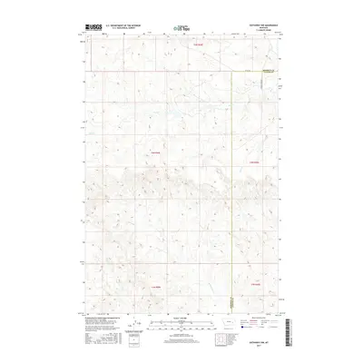
2017 Map of Hathaway NW
USGS Topo · Published 2017About this map
The high plains of eastern Montana are defined by a complex network of seasonal drainages on this 2017 survey. Running through the northern section, Coal Cr carves through the terrain, while Whitetail Cr and Wilson Cr dominate the southern half of the quadrangle. The land is characterized by open rangeland and intricate topography, with only occasional improved routes like Co Rd 160 and S Sunday Creek Rd providing access across the landscape. The map captures a section of the Rosebud and Custer County line, illustrating how administrative boundaries in this region often follow geometric township and range lines rather than the meandering paths of waterways such as Sage Cr or Steiger Cr.
Find a feature on this map
13 named features on this map. Tap any name to fly to it.
Don’t see what you’re looking for? This feature index may not catch every label — zoom into the map to look around manually.
Map Details
Editions of this 2017 Hathaway NW Map
This is the sole edition of this map. No revisions or reprints were ever made.
Other maps of this area

1954 · Forsyth
USGS Topo · 1:250,000

1957 · Forsyth
USGS Topo · 1:250,000

1958 · Forsyth
USGS Topo · 1:250,000

1968 · Sand Buttes
USGS Topo · 1:24,000

1968 · Hathaway
USGS Topo · 1:24,000

1968 · Butterfly Creek
USGS Topo · 1:24,000

1968 · Horton
USGS Topo · 1:24,000

1968 · Hathaway NW
USGS Topo · 1:24,000

1968 · Thurlow
USGS Topo · 1:24,000

1969 · Wild Horse Pass SE
USGS Topo · 1:24,000