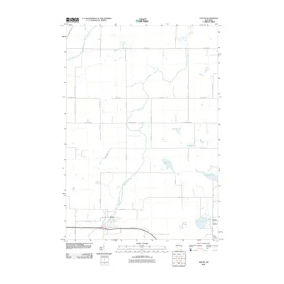
2010 Map of Hatley
USGS Topo · Published 2010About this map
The village of Hatley sits near the southern edge of this Marathon County landscape, where the Plover River and Eau Claire River define the local drainage patterns. This 2010 survey illustrates a region where small-town Wisconsin life meets a complex network of glacial water bodies and wetlands. In the southeastern corner, the settlement of Norrie anchors the area near Norrie Lake, supported by local landmarks like Hillcrest Cemetery and Saint Francis Cemetery.
Find a feature on this map
37 named features on this map. Tap any name to fly to it.
Don’t see what you’re looking for? This feature index may not catch every label — zoom into the map to look around manually.
Map Details
Editions of this 2010 Hatley Map
This is the sole edition of this map. No revisions or reprints were ever made.
Other maps of this area

1899 · Wausau
USGS Topo · 1:125,000

1902 · Wausau
USGS Topo · 1:125,000

1951 · Doering
USGS Topo · 1:48,000

1952 · Antigo
USGS Topo · 1:48,000

1953 · Hatley
USGS Topo · 1:48,000

1954 · Wittenberg
USGS Topo · 1:48,000

1954 · Iron Mountain
USGS Topo · 1:250,000

1955 · Green Bay
USGS Topo · 1:250,000

1959 · Iron Mountain
USGS Topo · 1:250,000

1964 · Wittenberg
USGS Topo · 1:62,500