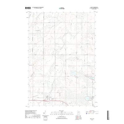
2018 Map of Hatley
USGS Topo · Published 2018About this map
Hatley and Norrie anchor this central Wisconsin landscape, where the headwaters of the Plover River and the Eau Claire River cut through the glacial terrain of eastern Marathon County. The map provides a detailed look at the rural road network, including the path of the Ice Age National Scenic Trail as it winds through the northwestern and southwestern sections. This trail follows the terminal moraine of the last glacier, offering a clear visual of the complex topography that defines the region's natural history.
Find a feature on this map
60 named features on this map. Tap any name to fly to it.
Don’t see what you’re looking for? This feature index may not catch every label — zoom into the map to look around manually.
Map Details
Editions of this 2018 Hatley Map
This is the sole edition of this map. No revisions or reprints were ever made.
Other maps of this area

1899 · Wausau
USGS Topo · 1:125,000

1902 · Wausau
USGS Topo · 1:125,000

1951 · Doering
USGS Topo · 1:48,000

1952 · Antigo
USGS Topo · 1:48,000

1953 · Hatley
USGS Topo · 1:48,000

1954 · Wittenberg
USGS Topo · 1:48,000

1954 · Iron Mountain
USGS Topo · 1:250,000

1955 · Green Bay
USGS Topo · 1:250,000

1959 · Iron Mountain
USGS Topo · 1:250,000

1964 · Wittenberg
USGS Topo · 1:62,500