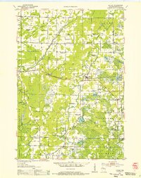
1953 Map of Hatley
USGS Topo · Published 1955About this map
Glacial topography and a dense network of early rural schools define this eastern Marathon County landscape in the early 1950s. The Chicago and North Western railroad provides a central axis for settlements like Hatley, Ringle, and Norrie. The survey captures a moment of transition for the local education system, marking several defunct institutions such as Plover Valley Sch and Barstow Sch alongside active ones like Carpenter Sch and Trunk Line Sch.
Find a feature on this map
64 named features on this map. Tap any name to fly to it.
Don’t see what you’re looking for? This feature index may not catch every label — zoom into the map to look around manually.
Map Details
Editions of this 1953 Hatley Map
This is the sole edition of this map. No revisions or reprints were ever made.
Other maps of this area
1899 · Wausau
USGS Topo · 1:125,000
1902 · Wausau
USGS Topo · 1:125,000
1951 · Doering
USGS Topo · 1:48,000
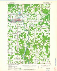
1951 · Merrill
USGS Topo · 1:48,000
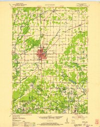
1952 · Antigo
USGS Topo · 1:48,000
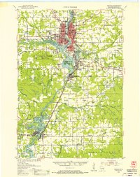
1953 · Wausau
USGS Topo · 1:48,000
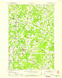
1954 · Wittenberg
USGS Topo · 1:48,000

1954 · Iron Mountain
USGS Topo · 1:250,000
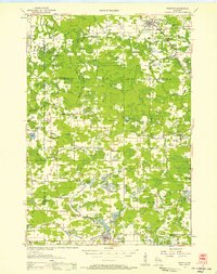
1955 · Tigerton
USGS Topo · 1:48,000
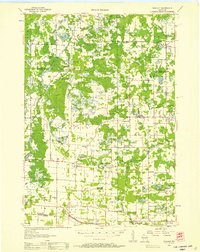
1955 · Rosholt
USGS Topo · 1:48,000