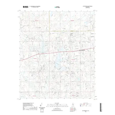
2020 Map of Hattiesburg SW
USGS Topo · Published 2020About this map
Hattiesburg sits at the eastern edge of this landscape, where the urban street grid transitions into the residential and rural developments of western Forrest and Lamar Counties. The map details a corridor of growth along Lincoln Rd and W 4th St, connecting the city to the established community of Oak Grove and smaller settlements like Clyde and Wardwell. This area serves as a significant watershed for several tributaries, including Boggy Branch and Mineral Creek, which drain into larger systems like Black Cr to the south.
Find a feature on this map
174 named features on this map. Tap any name to fly to it.
Don’t see what you’re looking for? This feature index may not catch every label — zoom into the map to look around manually.
Map Details
Editions of this 2020 Hattiesburg SW Map
This is the sole edition of this map. No revisions or reprints were ever made.
Other maps of this area

1953 · Hattiesburg
USGS Topo · 1:250,000

1958 · Hattiesburg
USGS Topo · 1:250,000

1964 · Purvis
USGS Topo · 1:24,000

1964 · Hattiesburg
USGS Topo · 1:24,000

1965 · Hattiesburg SW
USGS Topo · 1:24,000

1965 · Dixie
USGS Topo · 1:24,000

1965 · Eastabuchie
USGS Topo · 1:24,000

1965 · Sanford
USGS Topo · 1:24,000

1969 · Baxterville NE
USGS Topo · 1:24,000

1974 · Sumrall
USGS Topo · 1:24,000