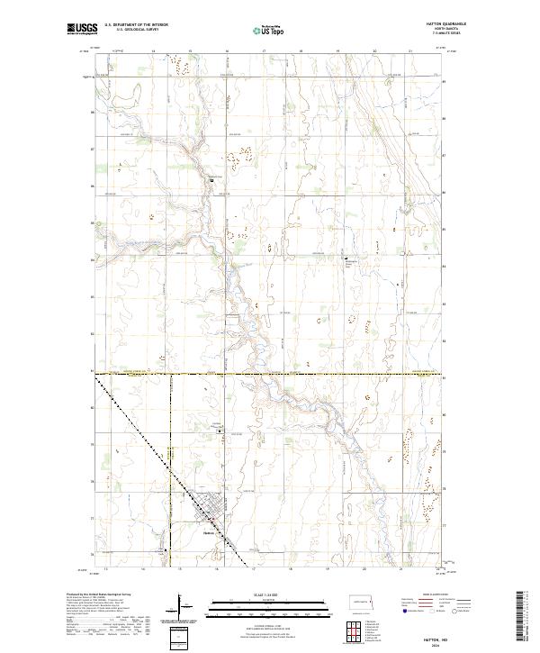
2024 Map of Hatton
USGS Topo · Published 2024About this map
Hatton serves as the primary focal point of this Eastern North Dakota landscape, situated at the junction of Railroad Ave E and Railroad Ave W. The town's grid is anchored by essential services including a Po and the Zoar Lutheran Cem on its southern edge. The surrounding terrain is defined by the meandering course of the North Branch Goose River, which cuts through the agricultural sections of t149n r53w and t149n r54w.
Find a feature on this map
50 named features on this map. Tap any name to fly to it.
Don’t see what you’re looking for? This feature index may not catch every label — zoom into the map to look around manually.
Map Details
Editions of this 2024 Hatton Map
This is the sole edition of this map. No revisions or reprints were ever made.
Other maps of this area

1934 · Emerado
USGS Topo · 1:48,000

1936 · Emerado
USGS Topo · 1:62,500

1936 · Larimore
USGS Topo · 1:62,500

1952 · Grand Forks
USGS Topo · 1:250,000

1956 · Grand Forks
USGS Topo · 1:250,000

1963 · Kempton
USGS Topo · 1:24,000

1963 · Emerado SE
USGS Topo · 1:24,000

1963 · Emerado SW
USGS Topo · 1:24,000

1966 · Grand Forks
USGS Topo · 1:250,000
1970 · Northwood SE
USGS Topo · 1:24,000