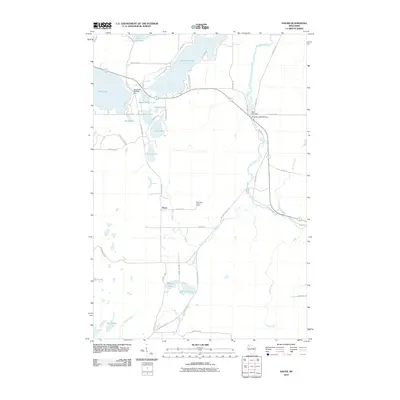
2010 Map of Hauer
USGS Topo · Published 2010About this map
Hauer serves as the primary named settlement in this pocket of Sawyer County, where the landscape is defined by a dense network of glacial lakes and river systems. The Couderay River winds through the eastern terrain, regulated by structures like the Billy Boy Dam and Billy Boy 2WP232 Dam. Further west, the massive basin of Sand Lake is managed by the Sand Lake 2WP826 Dam, reflecting the region's managed water levels for recreation and conservation. The presence of the Sand Lake Lookout Tower near Strand Rd suggests a landscape historically monitored for forestry health. This interior Wisconsin territory, including portions of Lac Courte Oreilles and Whitefish Lake, is accessed via a grid of rural routes such as County Hwy E and W County Hwy F, linking various smaller water bodies like Hungry Lake and Upper Holly Lake.
Find a feature on this map
56 named features on this map. Tap any name to fly to it.
Don’t see what you’re looking for? This feature index may not catch every label — zoom into the map to look around manually.
Map Details
Editions of this 2010 Hauer Map
This is the sole edition of this map. No revisions or reprints were ever made.
Other maps of this area

1944 · Couderay
USGS Topo · 1:48,000

1945 · Meteor
USGS Topo · 1:48,000

1948 · Couderay
USGS Topo · 1:48,000

1948 · Stone Lake
USGS Topo · 1:48,000

1949 · Meteor
USGS Topo · 1:48,000

1949 · Rice Lake
USGS Topo · 1:48,000

1950 · Stone Lake
USGS Topo · 1:48,000

1951 · Rice Lake
USGS Topo · 1:48,000

1953 · Rice Lake
USGS Topo · 1:250,000

1959 · Rice Lake
USGS Topo · 1:250,000