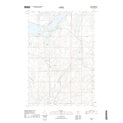
2018 Map of Hauer
USGS Topo · Published 2018About this map
Hauer serves as a small anchor in this glacial landscape of Sawyer County, where the transition from deep water bodies to upland forests is clearly defined. The northern portion is dominated by the sprawling reaches of Whitefish Lake and Lac Courte Oreilles, specifically the protected waters of Musky Bay. These lakes, along with Sand Lake and the smaller Upper Holly Lake and Lower Holly Lake, represent a dense concentration of shoreline environments that have shaped local recreation and settlement patterns for generations.
Find a feature on this map
66 named features on this map. Tap any name to fly to it.
Don’t see what you’re looking for? This feature index may not catch every label — zoom into the map to look around manually.
Map Details
Editions of this 2018 Hauer Map
This is the sole edition of this map. No revisions or reprints were ever made.
Other maps of this area

1944 · Couderay
USGS Topo · 1:48,000

1945 · Meteor
USGS Topo · 1:48,000

1948 · Couderay
USGS Topo · 1:48,000

1948 · Stone Lake
USGS Topo · 1:48,000

1949 · Meteor
USGS Topo · 1:48,000

1949 · Rice Lake
USGS Topo · 1:48,000

1950 · Stone Lake
USGS Topo · 1:48,000

1951 · Rice Lake
USGS Topo · 1:48,000

1953 · Rice Lake
USGS Topo · 1:250,000

1959 · Rice Lake
USGS Topo · 1:250,000