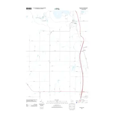
2013 Map of Haugen
USGS Topo · Published 2013About this map
The village of Haugen serves as a primary waypoint in this northern Barron County landscape, dominated by a dense network of glacial lakes and wetlands. The community is marked by the Haugen Water Tower and lies just south of Bear Lake, with the surrounding area characterized by an intricate water system including Lake Desair, Fish Lake, and Mud Lake. These water bodies are connected by numerous waterways such as Little Bear Cr and Engle Cr.
Find a feature on this map
56 named features on this map. Tap any name to fly to it.
Don’t see what you’re looking for? This feature index may not catch every label — zoom into the map to look around manually.
Map Details
Editions of this 2013 Haugen Map
This is the sole edition of this map. No revisions or reprints were ever made.
Other maps of this area

1949 · Rice Lake
USGS Topo · 1:48,000

1951 · Shell Lake
USGS Topo · 1:48,000

1951 · Rice Lake
USGS Topo · 1:48,000

1951 · Chetek
USGS Topo · 1:62,500

1951 · Barron
USGS Topo · 1:62,500

1953 · Rice Lake
USGS Topo · 1:250,000

1959 · Rice Lake
USGS Topo · 1:250,000

1965 · Rice Lake
USGS Topo · 1:62,500

1965 · Shell Lake
USGS Topo · 1:62,500
1978 · Poskin
USGS Topo · 1:24,000