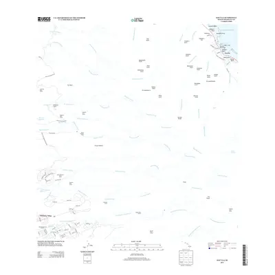
2013 Map of Hauula
USGS Topo · Published 2013About this map
Whitmore Village and the coastal settlement of Hau‘ula anchor this landscape on the island of O‘ahu, where the steep windward cliffs of the Ko‘olau Range meet the Pacific. The terrain is defined by a dense network of gulches and streams, including Maakua Stream and Kaluanui Stream, which descends from the landmark Sacred Falls. This area reveals a sophisticated legacy of water management, evidenced by an extensive system of subterranean infrastructure such as the Kamananui Ditch Tunnel, Mauka Ditch Tunnel, and Waiāhole Ditch Tunnel.
Find a feature on this map
110 named features on this map. Tap any name to fly to it.
Don’t see what you’re looking for? This feature index may not catch every label — zoom into the map to look around manually.
Map Details
Editions of this 2013 Hauula Map
This is the sole edition of this map. No revisions or reprints were ever made.
Other maps of this area

1952 · Waimea
USGS Topo · 1:24,000

1953 · Haleiwa
USGS Topo · 1:24,000

1953 · Schofield Barracks
USGS Topo · 1:24,000

1953 · Hauula
USGS Topo · 1:24,000

1954 · Oahu
USGS Topo · 1:250,000

1954 · Kahuku
USGS Topo · 1:24,000

1954 · Kahana
USGS Topo · 1:24,000

1954 · Kaneohe
USGS Topo · 1:24,000

1954 · Waipahu
USGS Topo · 1:24,000

1959 · Kaneohe
USGS Topo · 1:24,000