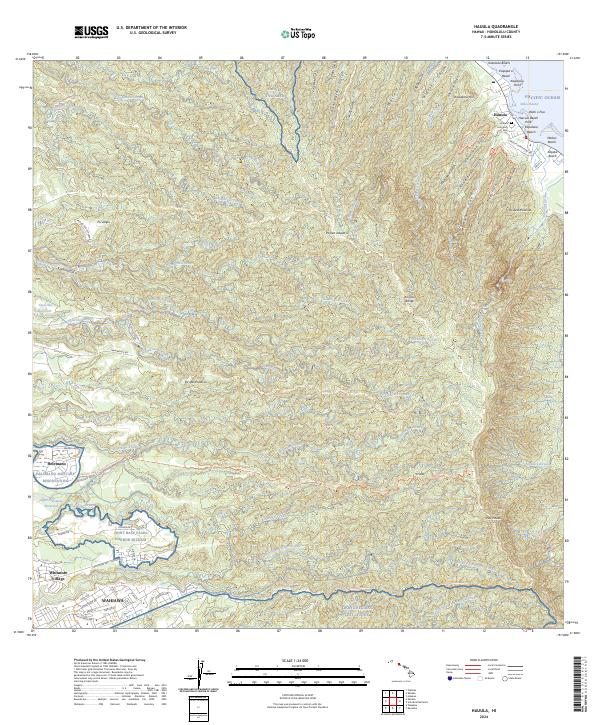
2024 Map of Hauula
USGS Topo · Published 2024About this map
The Ko'olau Range anchors this study of northeastern O'ahu, where deep gulches and streams descend toward the Pacific Ocean. The coastal settlement of Hauula serves as a focal point for the Windward side, featuring the Hauula Community Cem and several beaches including Kapalaoa Beach and Makao Beach. Inland, the landscape transitions from these coastal strips into heavily forested ridges and military training grounds, including the Kahuku Tng Area and the Tropic Regions Test Center.
Find a feature on this map
85 named features on this map. Tap any name to fly to it.
Don’t see what you’re looking for? This feature index may not catch every label — zoom into the map to look around manually.
Map Details
Editions of this 2024 Hauula Map
This is the sole edition of this map. No revisions or reprints were ever made.
Other maps of this area

1952 · Waimea
USGS Topo · 1:24,000

1953 · Haleiwa
USGS Topo · 1:24,000

1953 · Schofield Barracks
USGS Topo · 1:24,000

1953 · Hauula
USGS Topo · 1:24,000

1954 · Oahu
USGS Topo · 1:250,000

1954 · Kahuku
USGS Topo · 1:24,000

1954 · Kahana
USGS Topo · 1:24,000

1954 · Kaneohe
USGS Topo · 1:24,000

1954 · Waipahu
USGS Topo · 1:24,000

1959 · Kaneohe
USGS Topo · 1:24,000