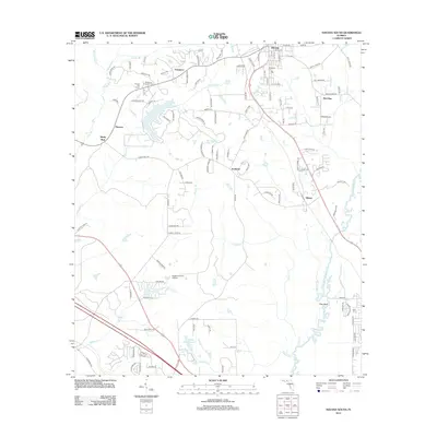
2012 Map of Havana South
USGS Topo · Published 2012About this map
The Ochlockonee River flows through the eastern portion of this Gadsden County landscape, anchoring a region defined by scattered agricultural settlements and rural infrastructure. The town of Havana is situated in the north, serving as a focal point near Freemont and Rich Bay. Local history is preserved in the locations of the Nicholson Freeman Cem and Woodland Cem, while the Havana Fire Tower stands as a prominent landmark in the northwest.
Find a feature on this map
119 named features on this map. Tap any name to fly to it.
Don’t see what you’re looking for? This feature index may not catch every label — zoom into the map to look around manually.
Map Details
Editions of this 2012 Havana South Map
This is the sole edition of this map. No revisions or reprints were ever made.
Other maps of this area

1940 · Tallahassee
USGS Topo · 1:62,500

1942 · Tallahassee
USGS Topo · 1:62,500

1943 · Tallahassee
USGS Topo · 1:62,500

1943 · Lake Talquin
USGS Topo · 1:62,500

1954 · Tallahassee
USGS Topo · 1:250,000

1956 · Havana North
USGS Topo · 1:24,000

1956 · Dogtown
USGS Topo · 1:24,000

1956 · Calvary
USGS Topo · 1:24,000

1959 · Tallahassee
USGS Topo · 1:250,000

1959 · Quincy
USGS Topo · 1:24,000