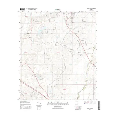
2015 Map of Havana South
USGS Topo · Published 2015About this map
The Ochlockonee River forms a winding natural boundary through this landscape, separating Gadsden and Leon counties as it flows south toward the Gulf. The northern reaches are dominated by the community of Havana, where the Woodland Cem serves as a local landmark. The terrain is defined by a dense network of creek drainages, including Attapulgus Cr, Hurricane Cr, and Beaver Creek, which feed into larger water bodies like Lake Tallavana and Lake Yvette.
Find a feature on this map
130 named features on this map. Tap any name to fly to it.
Don’t see what you’re looking for? This feature index may not catch every label — zoom into the map to look around manually.
Map Details
Editions of this 2015 Havana South Map
This is the sole edition of this map. No revisions or reprints were ever made.
Other maps of this area

1940 · Tallahassee
USGS Topo · 1:62,500

1942 · Tallahassee
USGS Topo · 1:62,500

1943 · Tallahassee
USGS Topo · 1:62,500

1943 · Lake Talquin
USGS Topo · 1:62,500

1954 · Tallahassee
USGS Topo · 1:250,000

1956 · Havana North
USGS Topo · 1:24,000

1956 · Dogtown
USGS Topo · 1:24,000

1956 · Calvary
USGS Topo · 1:24,000

1959 · Tallahassee
USGS Topo · 1:250,000

1959 · Quincy
USGS Topo · 1:24,000