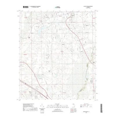
2018 Map of Havana South
USGS Topo · Published 2018About this map
The Ochlockonee River forms a significant boundary along the eastern edge of this landscape, where the Gadsden and Leon county lines meet. The region is defined by its small settlements and aviation hubs, including the Tallahassee Commercial Airport and the smaller Dogwood Farm Airport. In the north, Havana serves as a local center with residential streets like 9th Ave W and 11th Ave E, while the southern reaches are anchored by Midway.
Find a feature on this map
121 named features on this map. Tap any name to fly to it.
Don’t see what you’re looking for? This feature index may not catch every label — zoom into the map to look around manually.
Map Details
Editions of this 2018 Havana South Map
This is the sole edition of this map. No revisions or reprints were ever made.
Other maps of this area

1940 · Tallahassee
USGS Topo · 1:62,500

1942 · Tallahassee
USGS Topo · 1:62,500

1943 · Tallahassee
USGS Topo · 1:62,500

1943 · Lake Talquin
USGS Topo · 1:62,500

1954 · Tallahassee
USGS Topo · 1:250,000

1956 · Havana North
USGS Topo · 1:24,000

1956 · Dogtown
USGS Topo · 1:24,000

1956 · Calvary
USGS Topo · 1:24,000

1959 · Tallahassee
USGS Topo · 1:250,000

1959 · Quincy
USGS Topo · 1:24,000