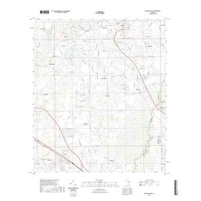
2021 Map of Havana South
USGS Topo · Published 2021About this map
The Ochlockonee River defines the eastern boundary of this Gadsden County landscape, meandering through a wide floodplain where the Upper Ochlockonee River State Canoe Trail tracks the water's course. To the south, the city of Midway anchors the map, while Havana sits to the north, showcasing the region's established residential and agricultural pattern. Significant local landmarks include the Tallahassee Commercial Airport and the smaller Dogwood Farm Airport, reflecting the area's modern infrastructure.
Find a feature on this map
139 named features on this map. Tap any name to fly to it.
Don’t see what you’re looking for? This feature index may not catch every label — zoom into the map to look around manually.
Map Details
Editions of this 2021 Havana South Map
This is the sole edition of this map. No revisions or reprints were ever made.
Other maps of this area

1940 · Tallahassee
USGS Topo · 1:62,500

1942 · Tallahassee
USGS Topo · 1:62,500

1943 · Tallahassee
USGS Topo · 1:62,500

1943 · Lake Talquin
USGS Topo · 1:62,500

1954 · Tallahassee
USGS Topo · 1:250,000

1956 · Havana North
USGS Topo · 1:24,000

1956 · Dogtown
USGS Topo · 1:24,000

1956 · Calvary
USGS Topo · 1:24,000

1959 · Tallahassee
USGS Topo · 1:250,000

1959 · Quincy
USGS Topo · 1:24,000