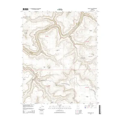
2014 Map of Havasu Falls
USGS Topo · Published 2014About this map
The Colorado River carves a deep path through this corner of Grand Canyon National Park, revealing a landscape of steep mesas and dramatic canyon walls. Along the river, powerful water features like Upset Rapids, Matkatamiba Rapids, and Sinyella Rapids demonstrate the constant erosive force at the canyon's floor. The map highlights the confluence of major side canyons, including Matkatamiba Canyon and Sinyella Canyon, which feed into the main river channel.
Find a feature on this map
37 named features on this map. Tap any name to fly to it.
Don’t see what you’re looking for? This feature index may not catch every label — zoom into the map to look around manually.
Map Details
Editions of this 2014 Havasu Falls Map
This is the sole edition of this map. No revisions or reprints were ever made.
Other maps of this area

1886 · Kaibab
USGS Topo · 1:250,000

1953 · Grand Canyon
USGS Topo · 1:250,000

1957 · Grand Canyon
USGS Topo · 1:250,000

1958 · Grand Canyon
USGS Topo · 1:250,000

1960 · Grand Canyon
USGS Topo · 1:250,000

1962 · Kanab Point
USGS Topo · 1:62,500

1962 · Tuckup Canyon
USGS Topo · 1:62,500

1962 · Supai
USGS Topo · 1:62,500

1962 · National Canyon
USGS Topo · 1:62,500

1984 · Grand Canyon
USGS Topo · 1:100,000