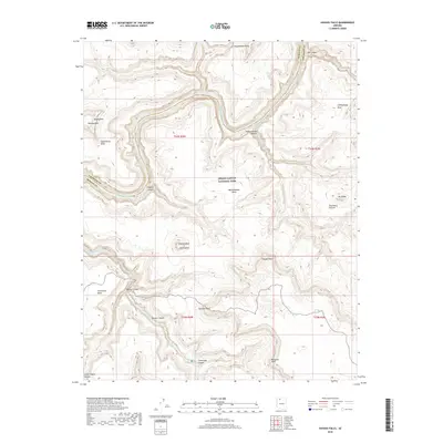
2018 Map of Havasu Falls
USGS Topo · Published 2018About this map
Havasu Canyon and its network of side gorges define this 2018 survey of the region where Havasu Creek flows north toward the Colorado River. The mapping meticulously captures the series of famous cataracts along the creek, including Mooney Falls, Havasu Falls, Beaver Falls, and Navajo Falls. These features are set against a dramatic backdrop of mesas and points, such as Yumtheska Mesa, Mt Sinyella, and Paguekwash Point, illustrating the extreme verticality of the Grand Canyon National Park landscape.
Find a feature on this map
38 named features on this map. Tap any name to fly to it.
Don’t see what you’re looking for? This feature index may not catch every label — zoom into the map to look around manually.
Map Details
Editions of this 2018 Havasu Falls Map
This is the sole edition of this map. No revisions or reprints were ever made.
Other maps of this area

1886 · Kaibab
USGS Topo · 1:250,000

1953 · Grand Canyon
USGS Topo · 1:250,000

1957 · Grand Canyon
USGS Topo · 1:250,000

1958 · Grand Canyon
USGS Topo · 1:250,000

1960 · Grand Canyon
USGS Topo · 1:250,000

1962 · Kanab Point
USGS Topo · 1:62,500

1962 · Tuckup Canyon
USGS Topo · 1:62,500

1962 · Supai
USGS Topo · 1:62,500

1962 · National Canyon
USGS Topo · 1:62,500

1984 · Grand Canyon
USGS Topo · 1:100,000