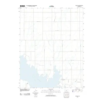
2009 Map of Haven SE
USGS Topo · Published 2009About this map
Cheney Reservoir dominates the southern landscape of this Reno County region, where the North Fork Ninnescah River feeds into the expansive water body. The area is defined by a rigorous section-line grid of rural roads, including Castleton Rd and Pretty Prairie Rd, reflecting the late 20th-century agricultural and energy-production patterns of central Kansas. Subsurface resources are a primary feature here, with the Friendship Gas Field and Hilger Southwest Oil Field indicating the persistent role of the petroleum industry in the local economy. For those researching local family history, the Pleasant Hill Cemetery sits near the reservoir's western edge, while unique local names like John's Oil Rd and Leona's Sunset Dr provide personalized markers of land ownership and development in the early 21st century.
Find a feature on this map
23 named features on this map. Tap any name to fly to it.
Don’t see what you’re looking for? This feature index may not catch every label — zoom into the map to look around manually.
Map Details
Editions of this 2009 Haven SE Map
This is the sole edition of this map. No revisions or reprints were ever made.
Other maps of this area

1889 · Cheney
USGS Topo · 1:125,000

1891 · Cheney
USGS Topo · 1:125,000

1901 · Cheney
USGS Topo · 1:125,000

1955 · Wichita
USGS Topo · 1:250,000

1958 · Wichita
USGS Topo · 1:250,000

1958 · Patterson
USGS Topo · 1:24,000

1959 · Mount Hope
USGS Topo · 1:24,000
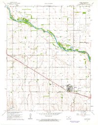
1961 · Haven
USGS Topo · 1:24,000
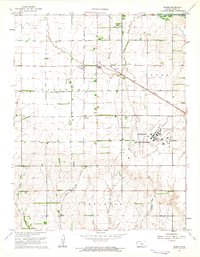
1961 · Elmer
USGS Topo · 1:24,000

1964 · Cheney
USGS Topo · 1:24,000