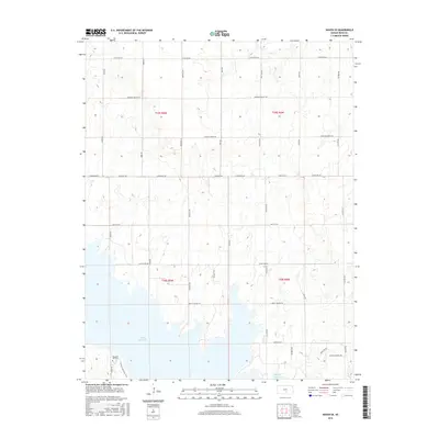
2015 Map of Haven SE
USGS Topo · Published 2015About this map
Cheney Reservoir dominates the southern landscape of this Reno County township, where the waters of the North Fork Ninnescah River are impounded. The map illustrates a transition from the structured agricultural grid of the central Kansas plains to the recreational and conservation lands surrounding the lake. Near the southwestern shore, the Pleasant Hill Cem remains a significant point of interest for genealogists tracing early families in the region. The map also records the Cheney Lake Main Trail and a network of named section-line roads, such as Sun City Rd and Pretty Prairie Rd, which delineate the township boundaries of T25S and T26S. Small drainage features like Gar Cr and Rock Cr cut through the sections, while modern residential naming conventions appear in more recent developments like Leona's Sunset Dr near the water's edge.
Find a feature on this map
29 named features on this map. Tap any name to fly to it.
Don’t see what you’re looking for? This feature index may not catch every label — zoom into the map to look around manually.
Map Details
Editions of this 2015 Haven SE Map
This is the sole edition of this map. No revisions or reprints were ever made.
Other maps of this area

1889 · Cheney
USGS Topo · 1:125,000

1891 · Cheney
USGS Topo · 1:125,000

1901 · Cheney
USGS Topo · 1:125,000

1955 · Wichita
USGS Topo · 1:250,000

1958 · Wichita
USGS Topo · 1:250,000

1958 · Patterson
USGS Topo · 1:24,000

1959 · Mount Hope
USGS Topo · 1:24,000
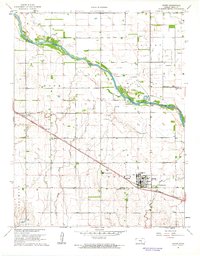
1961 · Haven
USGS Topo · 1:24,000
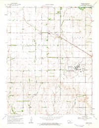
1961 · Elmer
USGS Topo · 1:24,000

1964 · Cheney
USGS Topo · 1:24,000