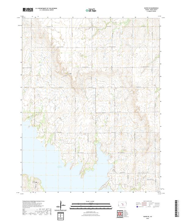
2022 Map of Haven SE
USGS Topo · Published 2022About this map
Cheney Reservoir dominates the southern landscape of this Reno County township, where the inundated shoreline meets a strictly organized grid of rural section roads. The terrain is defined by the gentle drainage of Wolf Cr and a network of family and descriptive landmarks that speak to the area's agricultural and local identity. Near the western edge, the Pleasant Hill Cem stands as a primary genealogical marker for the surrounding farming community. The road network, including names like Fountain Green Rd, Silver Lake Rd, and Leona's Sunset Dr, reflects the local geography and personal histories of the landholders. This survey captures the intersection of water management and traditional Kansas prairie life, where modern reservoir boundaries meet established townships such as t26s r5w.
Find a feature on this map
26 named features on this map. Tap any name to fly to it.
Don’t see what you’re looking for? This feature index may not catch every label — zoom into the map to look around manually.
Map Details
Editions of this 2022 Haven SE Map
This is the sole edition of this map. No revisions or reprints were ever made.
Other maps of this area

1889 · Cheney
USGS Topo · 1:125,000

1891 · Cheney
USGS Topo · 1:125,000

1901 · Cheney
USGS Topo · 1:125,000

1955 · Wichita
USGS Topo · 1:250,000

1958 · Wichita
USGS Topo · 1:250,000

1958 · Patterson
USGS Topo · 1:24,000

1959 · Mount Hope
USGS Topo · 1:24,000
1961 · Haven
USGS Topo · 1:24,000
1961 · Elmer
USGS Topo · 1:24,000

1964 · Cheney
USGS Topo · 1:24,000