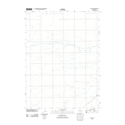
2011 Map of Havens
USGS Topo · Published 2011About this map
Silver Creek and Prairie Creek define the hydrologic character of this Merrick County landscape, winding eastward across a strictly organized section-line grid. The settlement of Havens sits in the southeastern corner, serving as a focal point where 29th Rd and X Rd converge near the railroad corridor. The map reveals the precise geometry of early 21st-century Nebraska agriculture, with a dense network of local routes such as A Rd, Y Rd, and 23rd Rd providing access to the fertile plains between the two watercourses. This layout illustrates a transition from traditional township structures to the modern rural road system that supports the region's ranching and farming operations.
Find a feature on this map
16 named features on this map. Tap any name to fly to it.
Don’t see what you’re looking for? This feature index may not catch every label — zoom into the map to look around manually.
Map Details
Editions of this 2011 Havens Map
This is the sole edition of this map. No revisions or reprints were ever made.
Other maps of this area

1896 · Stromsburg
USGS Topo · 1:125,000

1955 · Fremont
USGS Topo · 1:250,000

1957 · Fremont
USGS Topo · 1:250,000

1958 · Fremont
USGS Topo · 1:250,000

1958 · Genoa
USGS Topo · 1:24,000
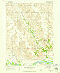
1958 · Merchiston
USGS Topo · 1:24,000

1958 · Fullerton
USGS Topo · 1:24,000

1958 · Fullerton NE
USGS Topo · 1:24,000

1958 · Silver Creek
USGS Topo · 1:24,000

1958 · Havens
USGS Topo · 1:24,000