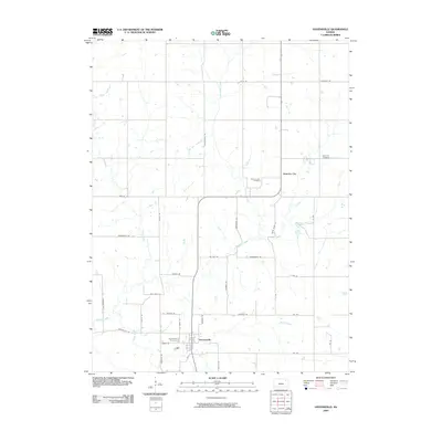
2009 Map of Havensville
USGS Topo · Published 2009About this map
Havensville and America City serve as the primary hubs in this agricultural landscape within Pottawatomie County during the early 2000s. The region is defined by the winding course of Vermillion Creek, which is joined by several tributaries including Wolf Creek, Coal Creek, and Spring Creek. The map documents a structured grid of rural roads, some bearing names that hint at local history or legacy routes, such as Old Trail Rd and Parallel Rd.
Find a feature on this map
39 named features on this map. Tap any name to fly to it.
Don’t see what you’re looking for? This feature index may not catch every label — zoom into the map to look around manually.
Map Details
Editions of this 2009 Havensville Map
This is the sole edition of this map. No revisions or reprints were ever made.
Other maps of this area

1888 · Hiawatha
USGS Topo · 1:125,000

1889 · Seneca
USGS Topo · 1:125,000

1889 · Wamego
USGS Topo · 1:125,000

1889 · Topeka
USGS Topo · 1:125,000

1894 · Seneca
USGS Topo · 1:125,000

1894 · Topeka
USGS Topo · 1:125,000

1894 · Hiawatha
USGS Topo · 1:125,000

1894 · Wamego
USGS Topo · 1:125,000

1950 · Kansas City
USGS Topo · 1:250,000

1954 · Kansas City
USGS Topo · 1:250,000