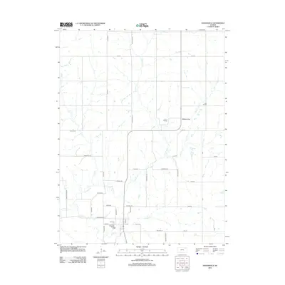
2012 Map of Havensville
USGS Topo · Published 2012About this map
Havensville sits at the convergence of multiple local roads in this rural Pottawatomie County landscape, serving as a primary settlement hub along Havensville Rd. The area is defined by its extensive network of watercourses, with Vermillion Cr and its tributaries like Spring Cr and Straight Cr carving through the prairie. Further north, the settlement of America City appears near the banks of Wolf Cr, illustrating the typical pattern of Kansas plains development where small communities anchored the intersections of township range roads.
Find a feature on this map
47 named features on this map. Tap any name to fly to it.
Don’t see what you’re looking for? This feature index may not catch every label — zoom into the map to look around manually.
Map Details
Editions of this 2012 Havensville Map
This is the sole edition of this map. No revisions or reprints were ever made.
Other maps of this area

1888 · Hiawatha
USGS Topo · 1:125,000

1889 · Seneca
USGS Topo · 1:125,000

1889 · Wamego
USGS Topo · 1:125,000

1889 · Topeka
USGS Topo · 1:125,000

1894 · Seneca
USGS Topo · 1:125,000

1894 · Topeka
USGS Topo · 1:125,000

1894 · Hiawatha
USGS Topo · 1:125,000

1894 · Wamego
USGS Topo · 1:125,000

1950 · Kansas City
USGS Topo · 1:250,000

1954 · Kansas City
USGS Topo · 1:250,000