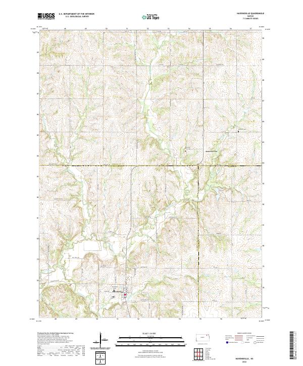
2022 Map of Havensville
USGS Topo · Published 2022About this map
Havensville stands as a focal point in this corner of Northeast Kansas, where the intersection of Havensville Rd and Union Rd anchors the community near the banks of Spring Creek. The landscape is defined by the winding paths of Vermillion Creek and Wolf Creek, which carve through the terrain as it crosses the borders of Pottawatomie, Nemaha, and Jackson Counties. This survey provides a contemporary look at the rural section lines and local thoroughfares like Old Trail Rd and Homestead Rd that have organized the region's agricultural life for generations.
Find a feature on this map
38 named features on this map. Tap any name to fly to it.
Don’t see what you’re looking for? This feature index may not catch every label — zoom into the map to look around manually.
Map Details
Editions of this 2022 Havensville Map
This is the sole edition of this map. No revisions or reprints were ever made.
Other maps of this area

1888 · Hiawatha
USGS Topo · 1:125,000

1889 · Seneca
USGS Topo · 1:125,000

1889 · Wamego
USGS Topo · 1:125,000

1889 · Topeka
USGS Topo · 1:125,000

1894 · Seneca
USGS Topo · 1:125,000

1894 · Topeka
USGS Topo · 1:125,000

1894 · Hiawatha
USGS Topo · 1:125,000

1894 · Wamego
USGS Topo · 1:125,000

1950 · Kansas City
USGS Topo · 1:250,000

1954 · Kansas City
USGS Topo · 1:250,000