
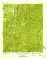
1933 Map of Haw Knob
USGS Topo · Published 1933About this map
The Tellico River and its numerous tributaries, including Sycamore Creek and Bald River, carve through this section of the Southern Appalachians during the early 1930s. This survey, conducted by Albert Pike and his team, highlights a landscape where the Cherokee National Forest and Nantahala National Forest meet along the Tennessee-North Carolina border. Small, dispersed mountain communities are evidenced by numerous local schools and houses of worship, such as Glendale Sch, Antioch Sch, and Oak Grove Ch.
Find a feature on this map
97 named features on this map. Tap any name to fly to it.
Don’t see what you’re looking for? This feature index may not catch every label — zoom into the map to look around manually.
Map Details
Editions of this 1933 Haw Knob Map
2 editions found
Other maps of this area

1886 · Knoxville
USGS Topo · 1:125,000

1892 · Knoxville
USGS Topo · 1:125,000

1893 · Murphy
USGS Topo · 1:125,000

1894 · Knoxville
USGS Topo · 1:125,000

1895 · Loudon
USGS Topo · 1:125,000

1895 · Knoxville
USGS Topo · 1:125,000

1901 · Knoxville
USGS Topo · 1:125,000

1914 · Murphy
USGS Topo · 1:125,000

1927 · Big Junction
USGS Topo · 1:24,000

1933 · Whiteoak Flats
USGS Topo · 1:24,000