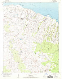
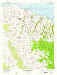
1957 Map of Hawi
USGS Topo · Published 1970About this map
North Kohala's agricultural and industrial heritage is clearly defined on this 1957 survey, where a series of sugar-era plantation settlements like Hoea Camp, Union Camp, and Halawa Camp punctuate the landscape. The northern coastline is marked by navigation landmarks such as the Kauhola Pt Light and the northernmost point at Upolu Pt. Inland, the complex water management system necessary for this region is visible through the winding path of the Kehena Ditch and several reservoirs including Puuokumau Res.
Find a feature on this map
61 named features on this map. Tap any name to fly to it.
Don’t see what you’re looking for? This feature index may not catch every label — zoom into the map to look around manually.
Map Details
Editions of this 1957 Hawi Map
2 editions found
Other maps of this area

1913 · Kohala
USGS Topo · 1:62,500

1916 · Kohala
USGS Topo · 1:62,500

1916 · Waipio
USGS Topo · 1:62,500

1954 · Hawaii North
USGS Topo · 1:250,000

1956 · Kamuela
USGS Topo · 1:24,000

1956 · Kawaihae
USGS Topo · 1:24,000
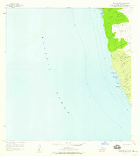
1957 · Keawanui Bay
USGS Topo · 1:24,000
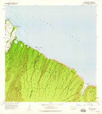
1957 · Honokane
USGS Topo · 1:24,000
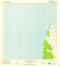
1957 · Mahukona
USGS Topo · 1:24,000
1957 · Hawi
USGS Topo · 1:24,000