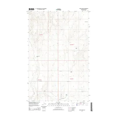
2014 Map of Hawk Coulee
USGS Topo · Published 2014About this map
Cherry Cr and the E Fork Cherry Cr carve a network of drainage channels through this section of Valley County, defining the local topography. This 2014 survey captures a rural landscape where the natural terrain dictates the layout of the land, as seen in the prominent Hawk Coulee and School Section Coulee. The map provides a detailed view of the regional road network, which often follows the contours of the coulees or property boundaries, featuring local names such as Gilbertson Rd, Nyquist Rd, and Robbins Rd. This area is characterized by the intersection of four township and range blocks, including t30n r39e and t29n r40e, illustrating the continuing legacy of the Public Land Survey System in modern Montana. Minor landmarks like Foss Coulee and Spring Coulee offer specific points of reference for those researching local family landholdings or geographic history.
Find a feature on this map
18 named features on this map. Tap any name to fly to it.
Don’t see what you’re looking for? This feature index may not catch every label — zoom into the map to look around manually.
Map Details
Editions of this 2014 Hawk Coulee Map
This is the sole edition of this map. No revisions or reprints were ever made.
Other maps of this area

1914 · Nashua
USGS Topo · 1:62,500

1916 · Nashua
USGS Topo · 1:62,500

1918 · Porcupine Valley
USGS Topo · 1:62,500

1943 · Glasgow
USGS Topo · 1:125,000

1954 · Glasgow
USGS Topo · 1:250,000

1957 · Glasgow
USGS Topo · 1:250,000

1958 · Glasgow
USGS Topo · 1:250,000

1958 · Glasgow
USGS Topo · 1:24,000

1958 · Whately
USGS Topo · 1:24,000

1969 · Cornwell Reservoir
USGS Topo · 1:24,000