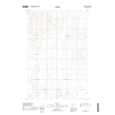
2020 Map of Hawk Coulee
USGS Topo · Published 2020About this map
School Section Coulee and Hawk Coulee characterize this section of Valley County, where the high plains are deeply incised by drainage networks that feed into Cherry Cr. This 2020 topographic record shows a landscape defined by its agricultural and ranching infrastructure, connected by a network of rural routes such as Mcvee Rd, Gilbertson Rd, and Cherry Valley Rd. The terrain is marked by distinct coulees, including Foss Coulee and Spring Coulee, which guide the seasonal flow of water toward the E Fork Cherry Cr. These landforms dictate the placement of local roads like Spring Coulee Rd and Nyquist Rd, illustrating how the physical geography of the Montana plains continues to shape movement and land use in the early 21st century.
Find a feature on this map
18 named features on this map. Tap any name to fly to it.
Don’t see what you’re looking for? This feature index may not catch every label — zoom into the map to look around manually.
Map Details
Editions of this 2020 Hawk Coulee Map
This is the sole edition of this map. No revisions or reprints were ever made.
Other maps of this area

1914 · Nashua
USGS Topo · 1:62,500

1916 · Nashua
USGS Topo · 1:62,500

1918 · Porcupine Valley
USGS Topo · 1:62,500

1943 · Glasgow
USGS Topo · 1:125,000

1954 · Glasgow
USGS Topo · 1:250,000

1957 · Glasgow
USGS Topo · 1:250,000

1958 · Glasgow
USGS Topo · 1:250,000

1958 · Glasgow
USGS Topo · 1:24,000

1958 · Whately
USGS Topo · 1:24,000

1969 · Cornwell Reservoir
USGS Topo · 1:24,000