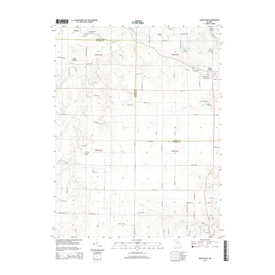
2015 Map of Hawk Point
USGS Topo · Published 2015About this map
The town of Hawk Point and the villages of Truxton and New Truxton anchor this landscape along the border of Lincoln and Warren Counties. This survey reveals a deeply rooted rural community defined by its watercourses and family burial grounds. Numerous small cemeteries are distributed across the countryside, including Owings-Pennington Cemetery and Copher Cemetery in the north, and Saint Marys Cemetery near the eastern edge.
Find a feature on this map
91 named features on this map. Tap any name to fly to it.
Don’t see what you’re looking for? This feature index may not catch every label — zoom into the map to look around manually.
Map Details
Editions of this 2015 Hawk Point Map
This is the sole edition of this map. No revisions or reprints were ever made.
Other maps of this area

1890 · Louisiana
USGS Topo · 1:125,000

1890 · Hermann
USGS Topo · 1:125,000

1937 · Silex
USGS Topo · 1:62,500

1939 · Silex
USGS Topo · 1:48,000

1942 · New Florence
USGS Topo · 1:62,500

1942 · Bellflower
USGS Topo · 1:62,500

1943 · Warrenton
USGS Topo · 1:62,500

1945 · Bellflower
USGS Topo · 1:62,500

1945 · Warrenton
USGS Topo · 1:62,500

1946 · New Florence
USGS Topo · 1:62,500