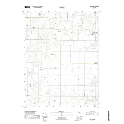
2017 Map of Hawk Point
USGS Topo · Published 2017About this map
Hawk Point sits at the intersection of State Hwy A and State Hwy D, serving as a primary settlement in this part of Missouri. The landscape is defined by the headwaters and tributaries of several drainage systems, including the southward-flowing Camp Cr and the eastward-trending Turkey Creek. This area across the border of Lincoln and Warren counties reflects a deep-rooted rural character, visible in the high density of small family and community burial grounds such as Owings-Pennington Cem, Anson Cem, and Zion Cem.
Find a feature on this map
94 named features on this map. Tap any name to fly to it.
Don’t see what you’re looking for? This feature index may not catch every label — zoom into the map to look around manually.
Map Details
Editions of this 2017 Hawk Point Map
This is the sole edition of this map. No revisions or reprints were ever made.
Other maps of this area

1890 · Louisiana
USGS Topo · 1:125,000

1890 · Hermann
USGS Topo · 1:125,000

1937 · Silex
USGS Topo · 1:62,500

1939 · Silex
USGS Topo · 1:48,000

1942 · New Florence
USGS Topo · 1:62,500

1942 · Bellflower
USGS Topo · 1:62,500

1943 · Warrenton
USGS Topo · 1:62,500

1945 · Bellflower
USGS Topo · 1:62,500

1945 · Warrenton
USGS Topo · 1:62,500

1946 · New Florence
USGS Topo · 1:62,500