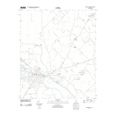
2011 Map of Hawkinsville
USGS Topo · Published 2011About this map
The Ocmulgee River serves as the central geographic feature of this Pulaski County landscape, with Hawkinsville situated on its western bank and the community of Hartford positioned directly across the water to the east. The Roger H Lawson Memorial Bridge facilitates the primary crossing between these two settlements, connecting the urban grid of the county seat with the more rural eastern reaches. Local genealogy and land use are well-documented through several burial grounds, including the historic Orange Hill Cemetery and Pine Bloom Cemetery near the town center, as well as the outlying Simpson Cemetery and Pulaski-Bleckley Memorial Gardens. The map also details early 21st-century infrastructure such as the Hawkinsville-Pulaski County Airport and the Pulaski Lookout Tower located near the southern settlement of Tippetts. High river bluffs like Taylors Bluff and Prichards Bluff overlook the winding river valley north of the city.
Find a feature on this map
77 named features on this map. Tap any name to fly to it.
Don’t see what you’re looking for? This feature index may not catch every label — zoom into the map to look around manually.
Map Details
Editions of this 2011 Hawkinsville Map
This is the sole edition of this map. No revisions or reprints were ever made.
Other maps of this area

1956 · Cochran
USGS Topo · 1:62,500

1956 · Perry
USGS Topo · 1:62,500

1957 · Macon
USGS Topo · 1:250,000

1958 · Macon
USGS Topo · 1:250,000

1964 · Macon
USGS Topo · 1:250,000

1972 · Finleyson East
USGS Topo · 1:24,000

1972 · West Of Eastman
USGS Topo · 1:24,000

1972 · Finleyson West
USGS Topo · 1:24,000

1973 · Hayneville
USGS Topo · 1:24,000

1973 · Klondike
USGS Topo · 1:24,000