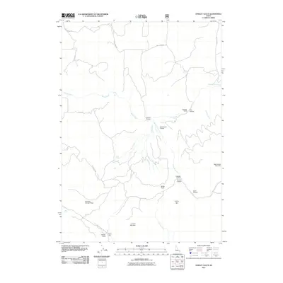
2011 Map of Hawley Gulch
USGS Topo · Published 2011About this map
Lookout Mountain and West Farnes Mountain anchor this landscape of steep drainage basins and high ridgelines in Bonneville County. The terrain is defined by a complex network of canyons and gulches, including Spooky Canyon, Limekiln Canyon, and the map's namesake Hawley Gulch. This geography dictated the placement of early routes such as Mud Springs Rd and Long Hollow Rd, which follow natural contours between the high peaks.
Find a feature on this map
33 named features on this map. Tap any name to fly to it.
Don’t see what you’re looking for? This feature index may not catch every label — zoom into the map to look around manually.
Map Details
Editions of this 2011 Hawley Gulch Map
This is the sole edition of this map. No revisions or reprints were ever made.
Other maps of this area

1943 · Garns Mtn
USGS Topo · 1:62,500

1946 · Garns Mtn
USGS Topo · 1:62,500

1951 · Moody
USGS Topo · 1:24,000

1951 · Poplar
USGS Topo · 1:24,000

1951 · Hawley Gulch
USGS Topo · 1:24,000

1951 · Heise
USGS Topo · 1:24,000

1951 · Heise SE
USGS Topo · 1:24,000

1951 · White Owl Butte
USGS Topo · 1:24,000

1955 · Driggs
USGS Topo · 1:250,000

1958 · Driggs
USGS Topo · 1:250,000