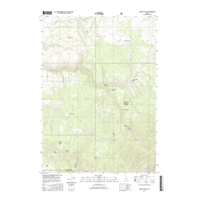
2017 Map of Hawley Gulch
USGS Topo · Published 2017About this map
Targhee National Forest dominates this section of eastern Idaho, where the complex terrain of the Big Hole Mountains transitions from high ridges down to the Snake River plain. The landscape is deeply incised by drainages such as Moody Cr and Lyons Cr, with prominent peaks like Lookout Mtn and Kelly Mtn providing significant relief. This 2017 survey reveals an intricate network of forest trails and primitive roads, including the Cabin Climb Trail and the curiously named Chalupa road, illustrating the modern recreational and resource management use of the forest.
Find a feature on this map
47 named features on this map. Tap any name to fly to it.
Don’t see what you’re looking for? This feature index may not catch every label — zoom into the map to look around manually.
Map Details
Editions of this 2017 Hawley Gulch Map
This is the sole edition of this map. No revisions or reprints were ever made.
Other maps of this area

1943 · Garns Mtn
USGS Topo · 1:62,500

1946 · Garns Mtn
USGS Topo · 1:62,500

1951 · Moody
USGS Topo · 1:24,000

1951 · Poplar
USGS Topo · 1:24,000

1951 · Hawley Gulch
USGS Topo · 1:24,000

1951 · Heise
USGS Topo · 1:24,000

1951 · Heise SE
USGS Topo · 1:24,000

1951 · White Owl Butte
USGS Topo · 1:24,000

1955 · Driggs
USGS Topo · 1:250,000

1958 · Driggs
USGS Topo · 1:250,000