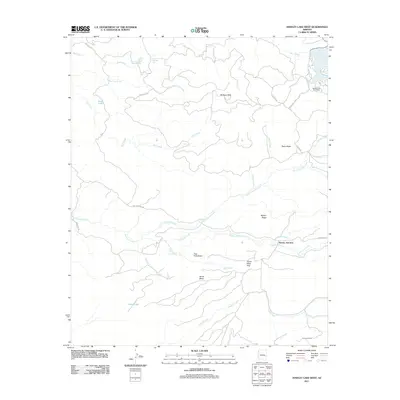
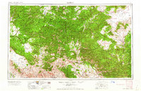
2011 Map of Hawley Lake West
USGS Topo · Published 2011About this map
Hawley Lake Post Office and the surrounding high-country terrain characterize this 2011 survey of Apache County. The map details a complex network of forest routes, including Upper Log Rd and Indian Rte 67, which connect remote outposts like Kinney Junction and the Kinney Lookout station. The geography is defined by prominent volcanic and erosional features such as Tsay O Ah Butte, Pistol Butte, and Horse Mesa, providing a clear view of the area's high-elevation landforms.
Find a feature on this map
35 named features on this map. Tap any name to fly to it.
Don’t see what you’re looking for? This feature index may not catch every label — zoom into the map to look around manually.
Map Details
Editions of this 2011 Hawley Lake West Map
This is the sole edition of this map. No revisions or reprints were ever made.
Other maps of this area
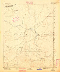
1886 · St Johns
USGS Topo · 1:250,000
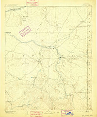
1892 · St Johns
USGS Topo · 1:250,000

1954 · Clifton
USGS Topo · 1:250,000

1954 · Saint Johns
USGS Topo · 1:250,000

1957 · Clifton
USGS Topo · 1:250,000

1957 · Saint Johns
USGS Topo · 1:250,000

1958 · Clifton
USGS Topo · 1:250,000

1958 · Saint Johns
USGS Topo · 1:250,000
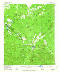
1961 · McNary
USGS Topo · 1:62,500
1962 · Clifton
USGS Topo · 1:250,000