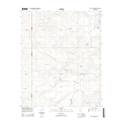
2014 Map of Hawley Lake West
USGS Topo · Published 2014About this map
Kinney Junction serves as a primary reference point in this high-altitude landscape where the boundaries of Navajo and Apache Counties meet. The 2014 survey documents a complex hydrological network managed by the Bureau of Indian Affairs, anchored by Hawley Lake in the northeast and numerous smaller water features like Duck Lake and Glover Lake. The terrain is defined by prominent volcanic and erosional features, including McKays Peak, Pistol Butte, and the uniquely named Tsay O Ah Butte. The road system, dominated by routes such as Bia-60 and Woolsey Lake Rd, reflects the modern infrastructure of the White Mountain Apache Reservation. Genealogists and local historians can trace the distribution of specific landmarks like Walton Spring and Horse Mesa Trap, which provide insight into the land use and water management priorities of the early 21st century.
Find a feature on this map
46 named features on this map. Tap any name to fly to it.
Don’t see what you’re looking for? This feature index may not catch every label — zoom into the map to look around manually.
Map Details
Editions of this 2014 Hawley Lake West Map
This is the sole edition of this map. No revisions or reprints were ever made.
Other maps of this area

1886 · St Johns
USGS Topo · 1:250,000

1892 · St Johns
USGS Topo · 1:250,000

1954 · Clifton
USGS Topo · 1:250,000

1954 · Saint Johns
USGS Topo · 1:250,000

1957 · Clifton
USGS Topo · 1:250,000

1957 · Saint Johns
USGS Topo · 1:250,000

1958 · Clifton
USGS Topo · 1:250,000

1958 · Saint Johns
USGS Topo · 1:250,000

1961 · McNary
USGS Topo · 1:62,500

1962 · Clifton
USGS Topo · 1:250,000