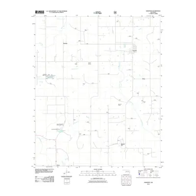
2010 Map of Haworth
USGS Topo · Published 2010About this map
Haworth serves as the primary hub of this McCurtain County landscape, where the grid-like street plan of the town contrasts with the winding paths of Norwood Creek and Push Creek. The map documents a rural transition where traditional landmarks like the Thomas Chapel Cemetery and Haworth Cemetery anchor the community's history, while more modern infrastructure such as the Tiak Lookout Tower and Haworth Tower suggests a focus on forest management and communication. To the west, the area around Kullituklo is marked by water management projects including the Oknoname 089017 Reservoir and the Water Fall-Gilford Site Number 11 Dam. The southern reaches are defined by the small settlement of Harris, situated near the confluence of local branches and creek systems that shape the region's drainage towards the Red River valley beyond the map's edge.
Find a feature on this map
57 named features on this map. Tap any name to fly to it.
Don’t see what you’re looking for? This feature index may not catch every label — zoom into the map to look around manually.
Map Details
Editions of this 2010 Haworth Map
This is the sole edition of this map. No revisions or reprints were ever made.
Other maps of this area

1950 · Idabel
USGS Topo · 1:24,000

1950 · De Kalb NW
USGS Topo · 1:24,000

1950 · Shults
USGS Topo · 1:24,000

1950 · Haworth
USGS Topo · 1:24,000

1950 · Tom
USGS Topo · 1:24,000

1950 · Goodwater
USGS Topo · 1:24,000

1950 · Bokhoma
USGS Topo · 1:24,000

1951 · Idabel
USGS Topo · 1:24,000

1951 · Idabel SE
USGS Topo · 1:24,000

1951 · English
USGS Topo · 1:24,000