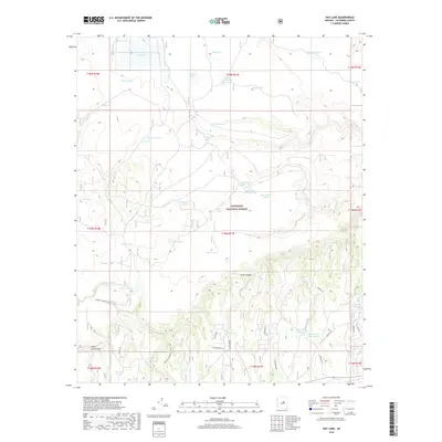
2018 Map of Hay Lake
USGS Topo · Published 2018About this map
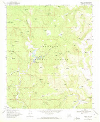
Coconino National Forest defines the high-altitude landscape of this Coconino County terrain, characterized by a complex network of ranching and water management features. The area around Hay Lake and Daze Lake is crisscrossed by forest roads and named cattle tanks such as Sixteen Tank and Duke Tank Number One, which supported historical and modern livestock operations. Transportation through this part of the Mogollon Rim country is marked by both utility and recreation, featuring the Chilson Canal alongside modern hiking routes like the Arizona National Scenic Trail. The varied topography includes notable landmarks such as Jacks Canyon and Reata Pass, providing a clear record of how water resources were developed in this arid environment. Residential or recreational tracks such as Buckskin Trl and Apache Dr appear in the southeastern sections, indicating late-stage development within the timberlands.
Find a feature on this map
58 named features on this map. Tap any name to fly to it.
Don’t see what you’re looking for? This feature index may not catch every label — zoom into the map to look around manually.
Map Details
Editions of this 2018 Hay Lake Map
This is the sole edition of this map. No revisions or reprints were ever made.
Other maps of this area

1887 · Verde
USGS Topo · 1:250,000

1892 · Verde
USGS Topo · 1:250,000

1954 · Holbrook
USGS Topo · 1:250,000

1957 · Holbrook
USGS Topo · 1:250,000

1958 · Holbrook
USGS Topo · 1:250,000

1960 · Holbrook
USGS Topo · 1:250,000
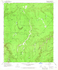
1965 · Long Valley
USGS Topo · 1:24,000
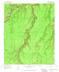
1965 · Leonard Canyon
USGS Topo · 1:24,000
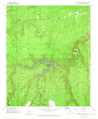
1965 · Blue Ridge Reservoir
USGS Topo · 1:24,000
1970 · Turkey Mtn.
USGS Topo · 1:24,000