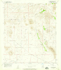
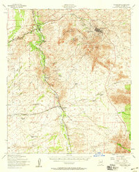
1957 Map of Hay Mountain
USGS Topo · Published 1959About this map
Hay Mountain and the southern reach of the Dragoon Mts dominate this mid-century landscape in Cochise County, where high-desert cattle ranching and mineral exploration define the terrain. The presence of Gold Camp and numerous Prospects and Tunnels scattered across the ridges suggest a history of prospecting that shared the land with established operations like Reeves Ranch and the H O Davis Ranch. Water management is the primary infrastructure shown, with a network of vital sources including Antelope Spring, Grapevines Windmill, and Reeves Tank providing for both livestock and remote outposts. The topographic detail follows the drainage patterns of Stockton Draw and Government Draw, illustrating how the dry washes dictate the placement of local travel routes such as Cowan Road and the Gleeson Road during this era of Arizona ranching.
Find a feature on this map
26 named features on this map. Tap any name to fly to it.
Don’t see what you’re looking for? This feature index may not catch every label — zoom into the map to look around manually.
Map Details
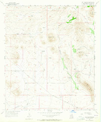
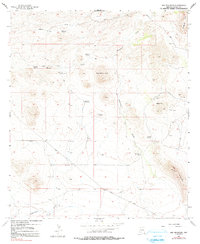
Editions of this 1957 Hay Mountain Map
3 editions found
Other maps of this area

1915 · Benson
USGS Topo · 1:125,000

1916 · Pearce
USGS Topo · 1:125,000

1922 · St. David
USGS Topo · 1:62,500

1925 · Gleeson
USGS Topo · 1:62,500

1926 · Courtland
USGS Topo · 1:62,500

1932 · Fairbank
USGS Topo · 1:62,500

1943 · Benson
USGS Topo · 1:125,000

1952 · Tombstone SE
USGS Topo · 1:24,000
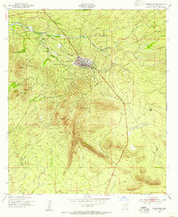
1952 · Tombstone
USGS Topo · 1:24,000
1952 · Tombstone
USGS Topo · 1:62,500