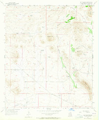
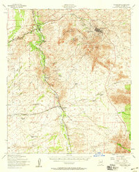
1957 Map of Hay Mountain
USGS Topo · Published 1964About this map
The high desert landscape of Cochise County during the mid-1950s is defined here by a network of ranching outposts and mining activity. Settlements such as Gold Camp and family-named landmarks like Reeves Ranch and H O Davis Ranch highlight the localized human presence in an area otherwise dominated by the arid terrain of Stockton Hill and Hay Mountain. Water management is central to life in this environment, evidenced by the numerous named water sources including Grapevines Windmill, Reeves Tank, Antelope Spring, and Deep Well Windmill distributed across the valleys.
Find a feature on this map
23 named features on this map. Tap any name to fly to it.
Don’t see what you’re looking for? This feature index may not catch every label — zoom into the map to look around manually.
Map Details
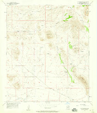
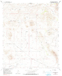
Editions of this 1957 Hay Mountain Map
3 editions found
Other maps of this area

1915 · Benson
USGS Topo · 1:125,000

1916 · Pearce
USGS Topo · 1:125,000

1922 · St. David
USGS Topo · 1:62,500

1925 · Gleeson
USGS Topo · 1:62,500

1926 · Courtland
USGS Topo · 1:62,500

1932 · Fairbank
USGS Topo · 1:62,500

1943 · Benson
USGS Topo · 1:125,000

1952 · Tombstone SE
USGS Topo · 1:24,000
1952 · Tombstone
USGS Topo · 1:24,000
1952 · Tombstone
USGS Topo · 1:62,500