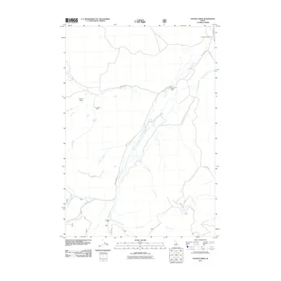
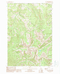
2011 Map of Hayden Creek
USGS Topo · Published 2011About this map
Hayden Creek serves as the central drainage for this section of Lemhi County, Idaho, where the landscape is defined by the confluence of numerous mountain streams. The map highlights a localized irrigation and water management system, anchored by Armstrong Dam on Lake Creek and the Hayden Creek Rearing Ponds further downstream. These features, alongside the Hayden Creek Access Area, reflect the intersection of the natural waterway with local utility and recreational management in the early 21st century.
Find a feature on this map
25 named features on this map. Tap any name to fly to it.
Don’t see what you’re looking for? This feature index may not catch every label — zoom into the map to look around manually.
Map Details
Editions of this 2011 Hayden Creek Map
This is the sole edition of this map. No revisions or reprints were ever made.
Other maps of this area

1955 · Dubois
USGS Topo · 1:250,000

1956 · Patterson
USGS Topo · 1:62,500

1956 · May
USGS Topo · 1:62,500

1956 · Lemhi
USGS Topo · 1:62,500

1958 · Dubois
USGS Topo · 1:250,000
1962 · Lem Peak
USGS Topo · 1:24,000
1962 · Poison Peak
USGS Topo · 1:24,000

1980 · Leadore
USGS Topo · 1:100,000
1989 · Lemhi
USGS Topo · 1:24,000
1989 · Mogg Mountain
USGS Topo · 1:24,000