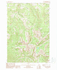
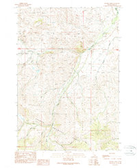
1989 Map of Mogg Mountain
USGS Topo · Published 1989About this map
Salmon National Forest and Challis National Forest meet in this high-altitude landscape of central Idaho. The terrain is defined by a series of prominent peaks and deep drainage basins, centered on the summit of Mogg Mountain. To the southeast, Mill Mountain overlooks Mill Lake, while the oddly named Buffalo Skull Lake sits in a high glacial cirque above Morse Creek. The complex hydrology of the region is evident in the numerous tributaries like East Fork Hayden Creek and Patterson Creek that carve through the steep slopes. This 1980s provisional survey, based on aerial photography from the mid-1980s, captures the wilderness character of the Lemhi County backcountry before more recent satellite-era updates, preserving the specific nomenclature of the gulches and forks used by local foresters and outdoorsmen.
Find a feature on this map
22 named features on this map. Tap any name to fly to it.
Don’t see what you’re looking for? This feature index may not catch every label — zoom into the map to look around manually.
Map Details
Editions of this 1989 Mogg Mountain Map
This is the sole edition of this map. No revisions or reprints were ever made.
Other maps of this area

1955 · Dubois
USGS Topo · 1:250,000

1956 · Patterson
USGS Topo · 1:62,500

1956 · May
USGS Topo · 1:62,500

1956 · Lemhi
USGS Topo · 1:62,500

1958 · Dubois
USGS Topo · 1:250,000
1962 · Lem Peak
USGS Topo · 1:24,000

1980 · Leadore
USGS Topo · 1:100,000
1989 · Lemhi
USGS Topo · 1:24,000
1989 · Stroud Creek
USGS Topo · 1:24,000
1989 · Hayden Creek
USGS Topo · 1:24,000