
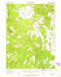
1956 Map of Hayden Hill
USGS Topo · Published 1957About this map
Hayden Hill serves as a focal point for this section of the Modoc National Forest, characterized by its concentration of mineral prospects and a historic Cem. The landscape is defined by its water management and livestock history, evidenced by a dense network of springs and man-made impoundments like Silva Flat Reservoir, Hatfield Reservoir, and Ambrose Reservoir. These features, alongside isolated outposts such as Totten Camp and Hencratt Camp, illustrate the mid-century reliance on mountain water sources for both ranching and forest maintenance.
Find a feature on this map
102 named features on this map. Tap any name to fly to it.
Don’t see what you’re looking for? This feature index may not catch every label — zoom into the map to look around manually.
Map Details
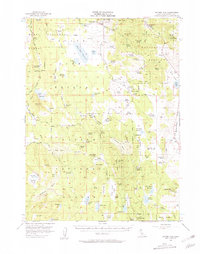
Editions of this 1956 Hayden Hill Map
3 editions found
Other maps of this area

1886 · Alturas
USGS Topo · 1:250,000

1886 · Honey Lake
USGS Topo · 1:250,000

1886 · Lassen Peak
USGS Topo · 1:250,000

1886 · Modoc Lava Bed
USGS Topo · 1:250,000

1891 · Honey Lake
USGS Topo · 1:250,000

1892 · Modoc Lava-Bed
USGS Topo · 1:250,000

1892 · Lassen Peak
USGS Topo · 1:250,000

1892 · Alturas
USGS Topo · 1:250,000

1893 · Honey Lake
USGS Topo · 1:250,000

1894 · Lassen Peak
USGS Topo · 1:250,000